GRIB
Installing
Login, and navigate to and check Build Information to determine the exact version of GeoServer you are running.
Visit the website download page, change the Archive tab, and locate your release.
From the list of Coverage Formats extensions download GRIB.
2.28.0 example: geoserver-2.28.0-grib-plugin.zip
3.0-SNAPSHOT example: geoserver-3.0-SNAPSHOT-grib-plugin.zip
Verify that the version number in the filename corresponds to the version of GeoServer you are running (for example 2.28.0 above).
Extract the files in the archive to the
WEB-INF/libdirectory of your GeoServer installation.Restart GeoServer
Adding a GRIB data store
To add a GRIB data store the user must go to Stores –> Add New Store –> GRIB.
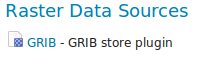
GRIB in the list of raster data stores
Configuring a GRIB data store
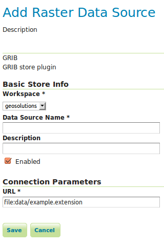
Configuring a GRIB data store
Option |
Description |
|
|
|
|
|
|
|
|
|
Relationship with NetCDF
Note
Note that internally the GRIB extension uses the NetCDF reader, which supports also GRIB data. See also the NetCDF documentation page for further information.
Current limitations
Input coverages/slices should share the same bounding box (lon/lat coordinates are the same for the whole ND cube)