GeoPackage
GeoPackage is an SQLite based standard format that is able to hold multiple vector and raster data layers in a single file.
GeoPackage files can be used both as Raster Data Stores as well as Vector Data Stores (so that both kinds of layers can published).
Adding a GeoPackage Vector Data Store
When the extension has been installed, GeoPackage will be an option in the Vector Data Sources list when creating a new data store.
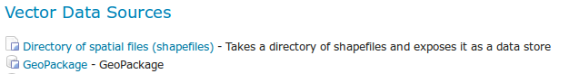
GeoPackage in the list of vector data stores
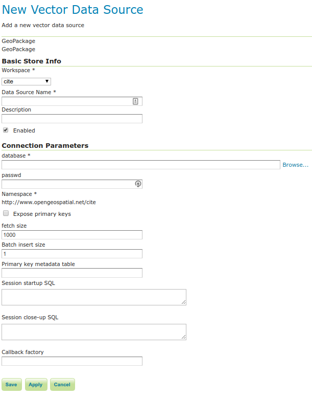
Configuring a GeoPackage Vector data store
Option |
Description |
database |
URI specifying geopackage file. |
user |
User to access database. |
passwd |
Password to access database. |
namespace |
Namespace to be associated with the database. This field is altered by changing the workspace name. |
max connections |
Maximum amount of open connections to the database. |
min connections |
Minimum number of pooled connections. |
fetch size |
Number of records read with each interaction with the database. |
Connection timeout |
Time (in seconds) the connection pool will wait before timing out. |
validate connections |
Checks the connection is alive before using it. |
When finished, click Save.