OGC API - Tiled features demonstration
This module provides an example of extending the OGC API - Features module with a building block from OGC API - Tiles, used for tiled access to raw vector data (the vector tiles modules is included).
This module is not required to use vector tiles, it’s also possible to use OGC API - Tiles directly, see OGC API - Tiles, along with the installation of the vector tiles extension.
Installing the GeoServer OGC API tiled features module
Download the OGC API nightly GeoServer community module from geoserver-2.25.x-ogcapi-tiled-features-plugin.zip.
Warning
Verify that the version number in the filename corresponds to the version of GeoServer you are running (for example geoserver-2.25-SNAPSHOT-ogcapi-tiled-features-plugin.zip above).
Extract the contents of the archive into the
WEB-INF/libdirectory of the GeoServer installation.On restart the services are listed at http://localhost:8080/geoserver
Extensions
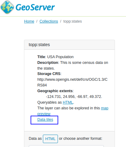
Upon installation, the OGC API - Features API will show the following extensions:

