Label Obstacles
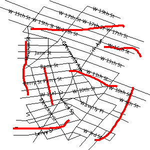
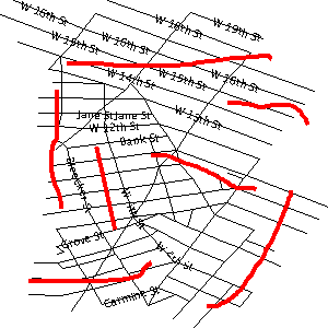
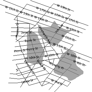
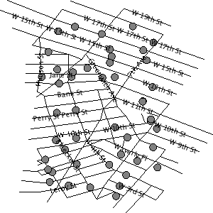
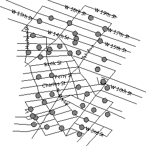
GeoServer implements an algorithm for label conflict resolution, to prevent labels from overlapping one another. By default this algorithm only considers conflicts with other labels. This can result in labels overlapping other symbolizers, which may produce an undesirable effect.
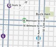
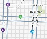
GeoServer supports a vendor option called labelObstacle that allows
marking a symbolizer as an obstacle.
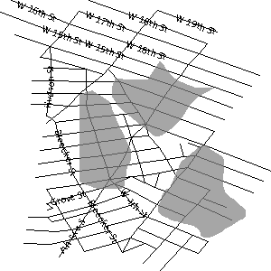
This tells the labeller to avoid rendering labels that overlap it.
Warning
Beware of marking a line or poly symbolizer as a label obstacle. The label conflict resolving routine is based on the bounding box so marking as a label obstacle will result in no label overlapping not only the geometry itself, but its bounding box as well.
<?xml version="1.0" encoding="ISO-8859-1"?>
<StyledLayerDescriptor version="1.0.0" xmlns="http://www.opengis.net/sld" xmlns:ogc="http://www.opengis.net/ogc"
  xmlns:xlink="http://www.w3.org/1999/xlink" xmlns:xsi="http://www.w3.org/2001/XMLSchema-instance">
  <NamedLayer>
    <UserStyle>

  <FeatureTypeStyle>
    <Rule>
      <PointSymbolizer>
        <Graphic>
          <ExternalGraphic>
            <OnlineResource
              xlink:type="simple"
              xlink:href="smileyface.png" />
            <Format>image/png</Format>
          </ExternalGraphic>
          <Size>32</Size>
        </Graphic>
        <VendorOption name="labelObstacle">true</VendorOption>
      </PointSymbolizer>
    </Rule>
  </FeatureTypeStyle>

    </UserStyle>
  </NamedLayer>
</StyledLayerDescriptor>
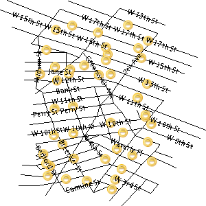
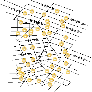
Applying the obstacle to a regular point style:
<PointSymbolizer>
  <Graphic>
    <ExternalGraphic>
      <OnlineResource
        xlink:type="simple"
        xlink:href="smileyface.png" />
      <Format>image/png</Format>
    </ExternalGraphic>
    <Size>32</Size>
  </Graphic>
  <VendorOption name="labelObstacle">true</VendorOption>
</PointSymbolizer>
Applying the obstacle to line/polygon style:
