Getting Started
Installation
To install the GeoServer Metadata extension:
Download the extension from the GeoServer Download Page page for your release: geoserver-2.21-SNAPSHOT-metadata-plugin.zip
Extract this file and place the JARs in
WEB-INF/lib.Perform any configuration required by your servlet container, and then restart. On startup, Metadata module will create a configuration directory
metadatain the GeoServer Data Directory. The module will scan all yaml files in themetadatadirectory.
Basic configuration
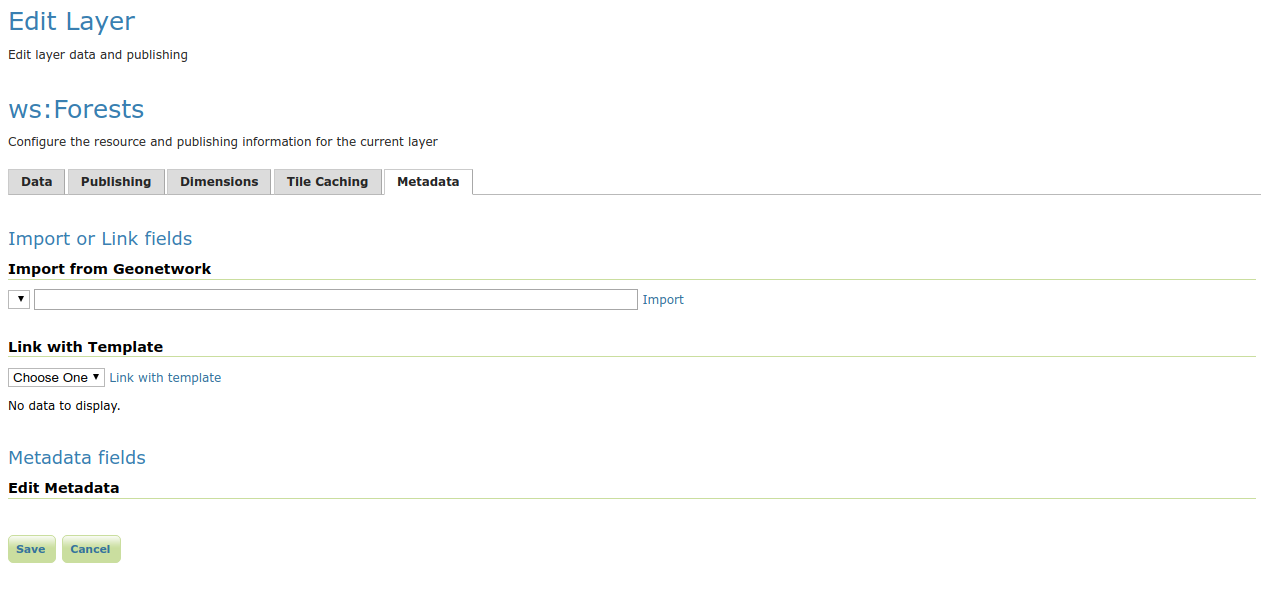
By default the metadata module will add an extra tab to the edit layer page. Open the layer: navigate to .

The initial UI. Note the Metadata fields panel is still empty
The content of the Metadata fields is configured by placing one or multiple yaml files describing the UI compontents in the metadata configuration folder, see INSPIRE metadata configuration using metadata and CSW for a real life example.
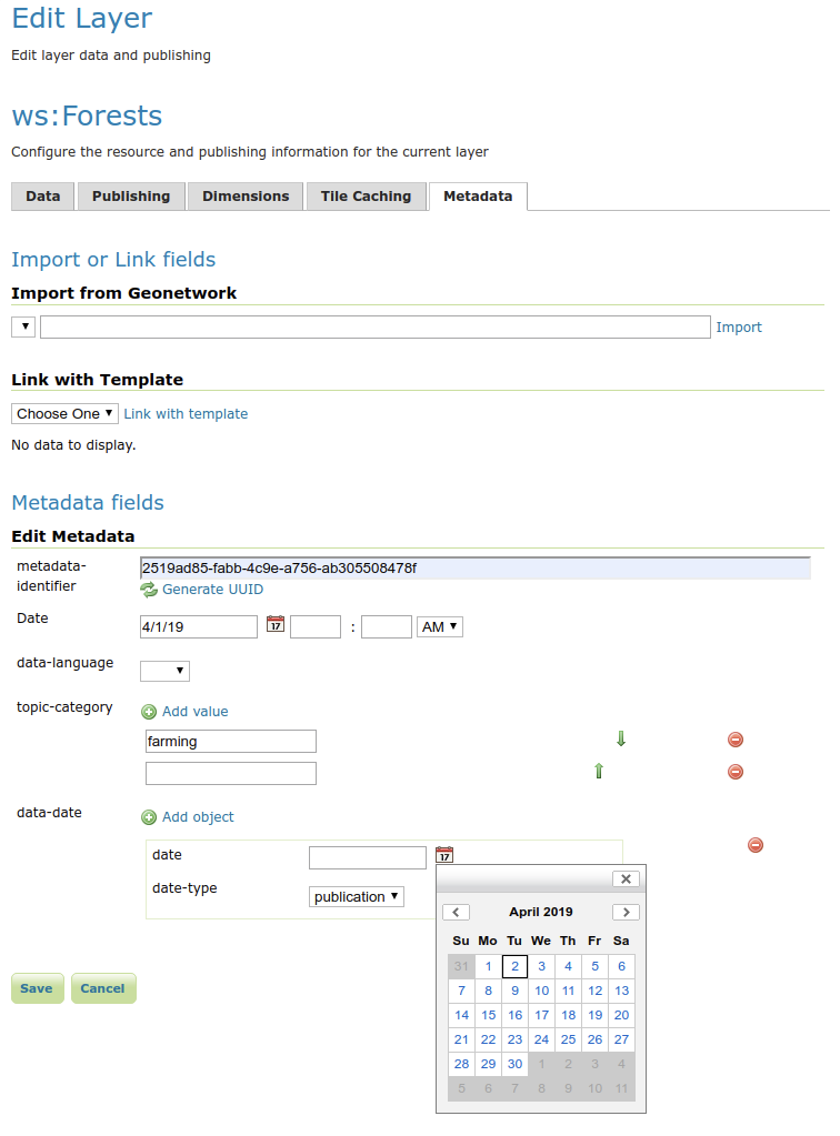
Example UI configuration:
attributes:
  - key: metadata-identifier
    fieldType: UUID
  - key: metadata-datestamp
    label: Date
    fieldType: DATETIME
  - key: data-language
    fieldType: DROPDOWN
    values:
          - dut
          - eng
          - fre
          - ger
  - key: topic-category
    fieldType: SUGGESTBOX
    occurrence: REPEAT
    values:
          - farming
          - biota
          - boundaries
          - climatologyMeteorologyAtmosphere
          - economy
          - elevation
  - key: data-date
    fieldType: COMPLEX
    typename: data-identification-date
    occurrence: REPEAT
types:
   - typename: data-identification-date
     attributes:
      - key: date
        fieldType: DATE
      - key: date-type
        fieldType: DROPDOWN
        values:
          - creation
          - publication
          - revision
This configuration results in the following GUI:

There are 2 main parts in the yaml:
attributes: a list of GUI components that will be rendered in the tab. They can be a basic type or a complex type, a complex type is a collection of basic types.
types: a list that defines the fields in each complex type.
Fields configuration gives an overview of all supported types and advanced features.