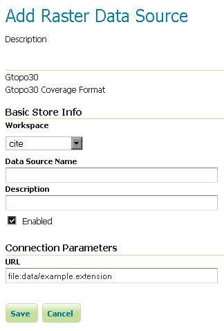
GTOPO30
GTOPO30 is a Digital Elevation Model (DEM) dataset with a horizontal grid spacing of 30 arc seconds.
Note
An example of a GTOPO30 can be found at http://edc.usgs.gov/products/elevation/gtopo30/gtopo30.html

Previous: GeoTIFF
Next: WorldImage